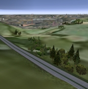
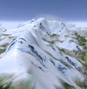
VISUAL DATABASE
• database extent and content:
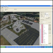
– H-SIM can provide several database extends, depending on your training needs.
– Through its 3D modelisation service, H-SIM can respond to special customer needs upon demand. This includes special zones, airports and training areas.
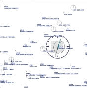
• Georeferenced elements:
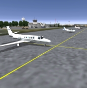
– Airports.
– Important elements in airports circuits.
• Specific Drop Zones and training areas.
– Real ground geometry.
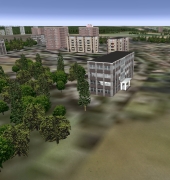
– Cities position, size and edges.
– Roads, highways, railroads.
– Lakes.
– Coastlines and beaches.
• Generic elements:
– Vibrating grass, plants, stones.
– Ground textures and micro-textures.
• Country, forests, trees.
• Country houses.
• Cities, buildings and houses.
UPDATEABLE RADIONAVIGATION DATABASE
Includes all radionavigation elements (VOR, ILS, NDB, MARKERS) of your training area.